Title of Project:
IMPEC – On the broadband synthetic sIgnals enhanceMent for 3D Physic based numerical analysis, the EUROSEISTEST Case study
Hosting Research Infrastructure:
EUROSEISTEST and EUROPROTEAS
No. of Users:
3
Team Leader:
MSSMat, Centralesupélec
Lopez-Caballero Fernando
Team:
MSSMat, Centralesupélec
Gatti Filippo
Touhami Sara
Summary of Project:
In recent years, the physics-based numerical simulation of realistic earthquake strong ground motion scenarios has become the prominent type of seismic predictive analysis, aiming at effectively solve complex three-dimensional (3-D) source-to-site seismic wave propagation problems. This predictive approach bares on multi-tool high performance computational platforms (HPC) to construct multi-scale deterministic numerical models, embracing a holistic philosophy. Typically, the critical aspects of a reliable earthquake predictive model are i) the accurate description of the time-space rupture path and ii) the modeling of the dispersion/attenuation/amplification phenomena, due to the wave-field passage across complex 3-D geological interfaces towards the surface, from harder bedrock to softer soil layers. With this respect, the numerical investigation pays special attention to the description of the near-source wave-field, e.g. the reproduction of energetic velocity pulses, of the scattering due to the heterogeneous shallow soil layers and of the effect of the topographical conformation. The routinely employment of such forward simulation technique to assess structural vulnerability passes through a validation phase, where the Goodness of Fit (GoF) is computed, comparing the synthetics to the seismic records belonging to dense observation networks deployed at the site.
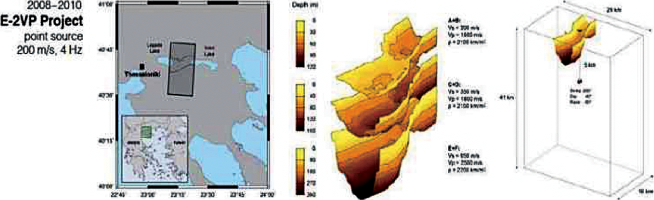
The hereby proposal for the SERA Transnational Access call targets the EUROSEISTEST and EUROPROTEAS facility. The Mygdonia valley represents a very appealing test site for the calibration and tuning of large scale numerical models of strong ground motion earthquake scenarios. A manifold objective is to employ the available data (specifically, the cluster of strong ground motion observations (i.e. Mw>5.5), recorded by the dense array network and geological/geotechnical data at a regional and site scale, such as VS profiles, borehole data and dynamic soil properties) to construct a 3-D physics-based numerical model of the site surroundings (approx. within a radius of 30-50 km) to reproduce the complex broadband (i.e. fmax>8 Hz) wave-field generated by the interaction between the seismic waves (radiated by the fault-offset along rupture discontinuities) with the heterogeneous sedimentary basin laying underneath the region of interest and its complex 3D configuration.